01 / 09
📐
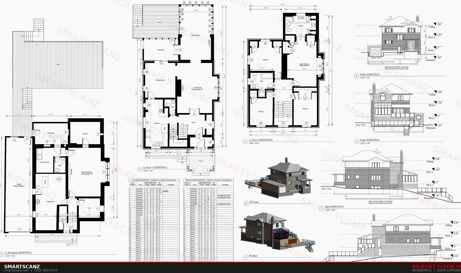
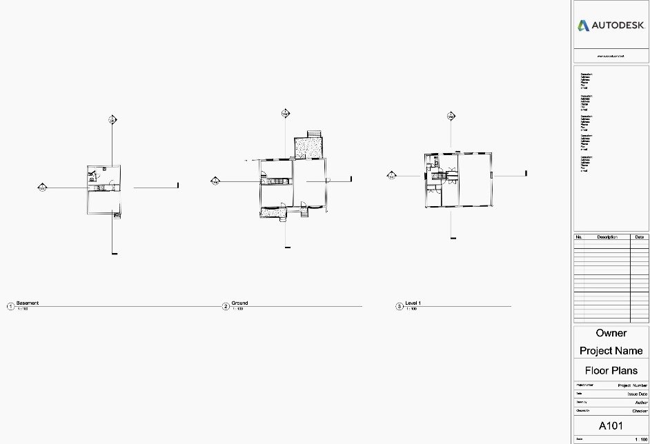
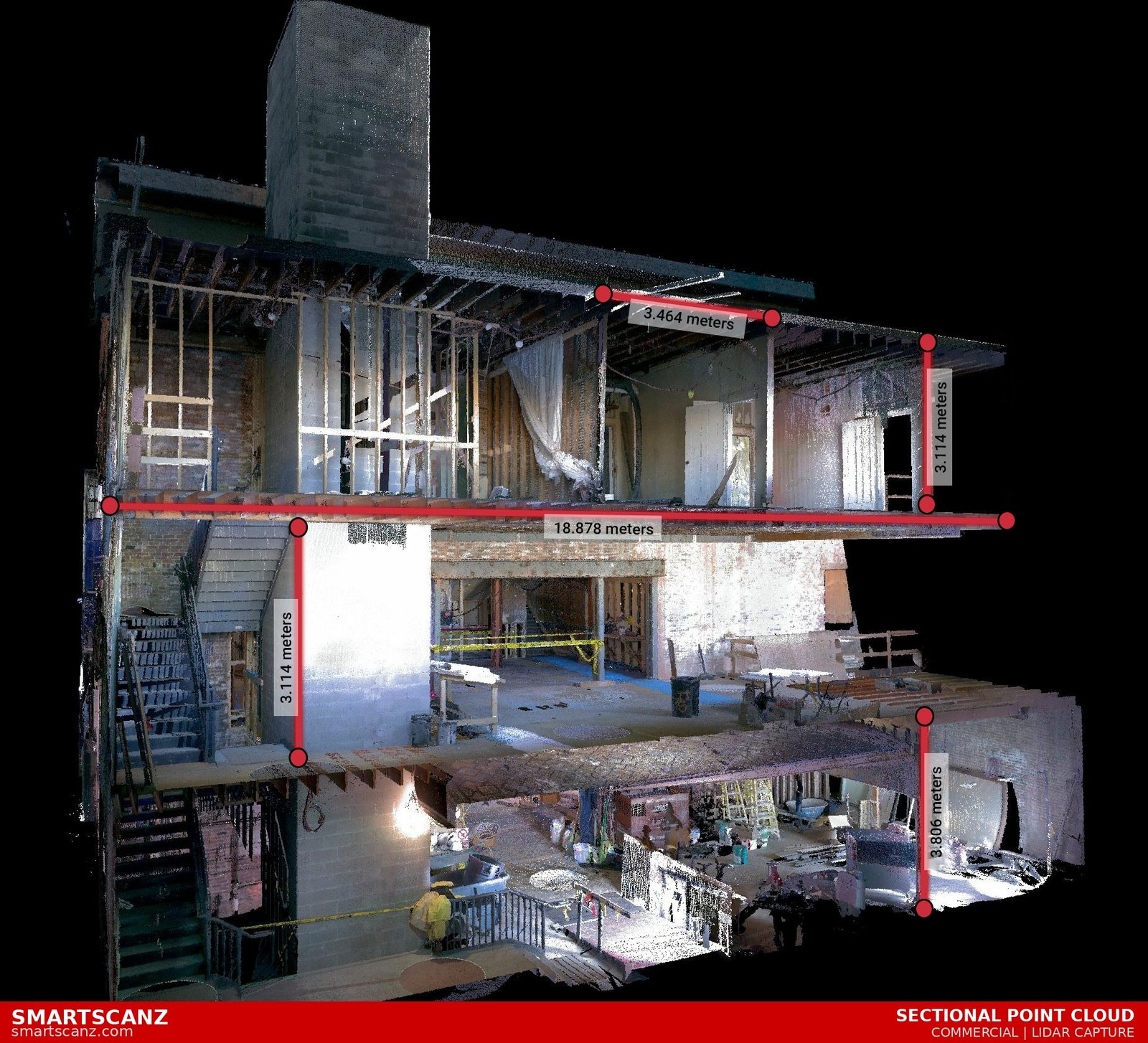
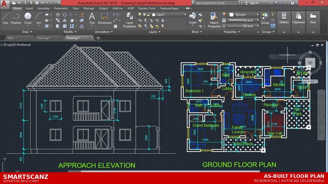
As-Built Floor Plans
Accurate interior and exterior floor plans and existing conditions surveys captured with millimetre-level LiDAR precision. Whether it's a single room or an entire commercial building, we deliver clean, fully-dimensioned drawings ready for architects, contractors, and real estate professionals.
Interior SurveysExterior Surveys
DWG / PDF / DXFExisting Conditions
Get a Quote →
02 / 09
📋
BCIN Designer — Permit Drawings
Ontario Building Code–compliant permit drawing packages for residential additions, alterations, secondary suites, accessory structures, and decks — prepared by a BCIN-registered designer and backed by LiDAR-verified field measurements. The only permit drawing service in KW that scans first.
Residential AdditionsSecondary Suites
OBC CompliantBCIN Registered
Learn More →
03 / 09
🔑
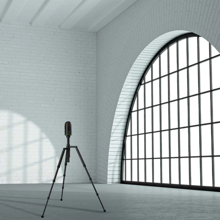
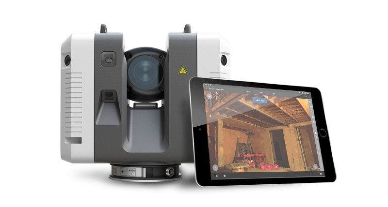
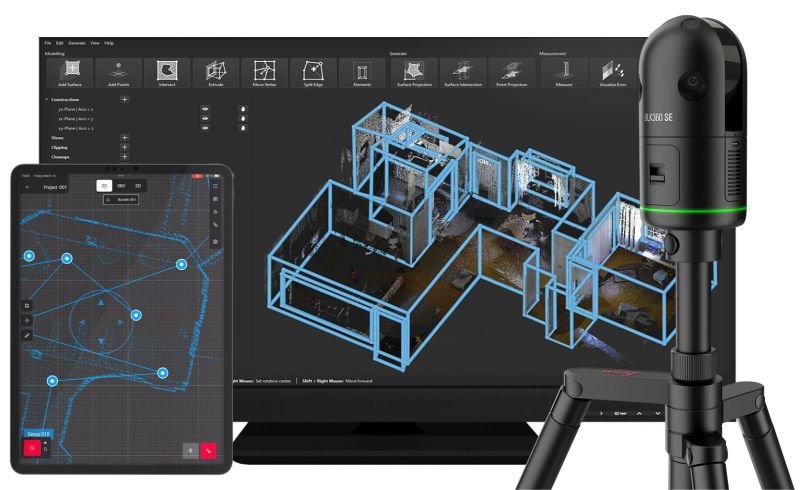
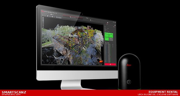
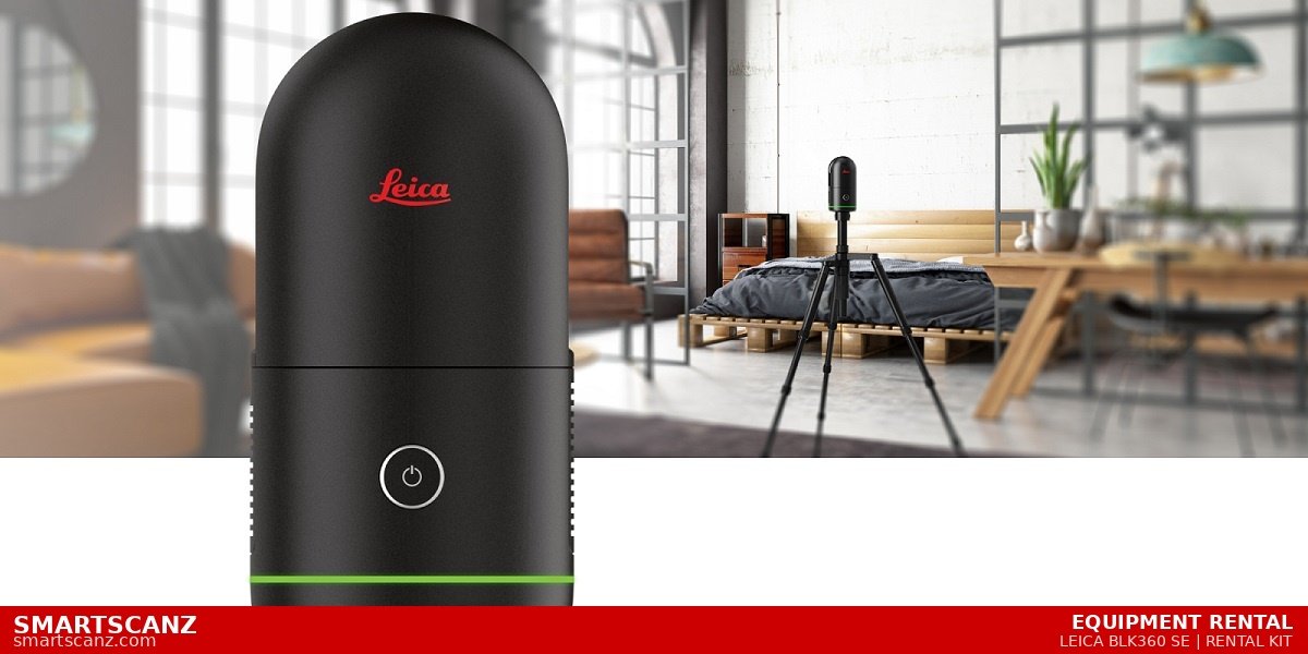
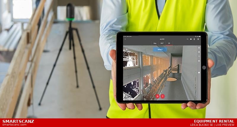
Equipment Rental
Rent the Leica BLK360 Gen2 — the same professional-grade scanner we use on every project. Kit includes scanner, tripod, iPad with Cyclone Field 360 (5-day licence), and carry case. Local pickup in Kitchener-Waterloo is free. Delivery available for $150. From $450/day — 10% less than the nearest competitor, with no shipping wait, no customs, and same-day availability.
From $450/day$1,575/week
iPad + Cyclone Field 360Tripod Included
Free Local Pickup$150 Delivery
View Rental Details →
04 / 09
☁️
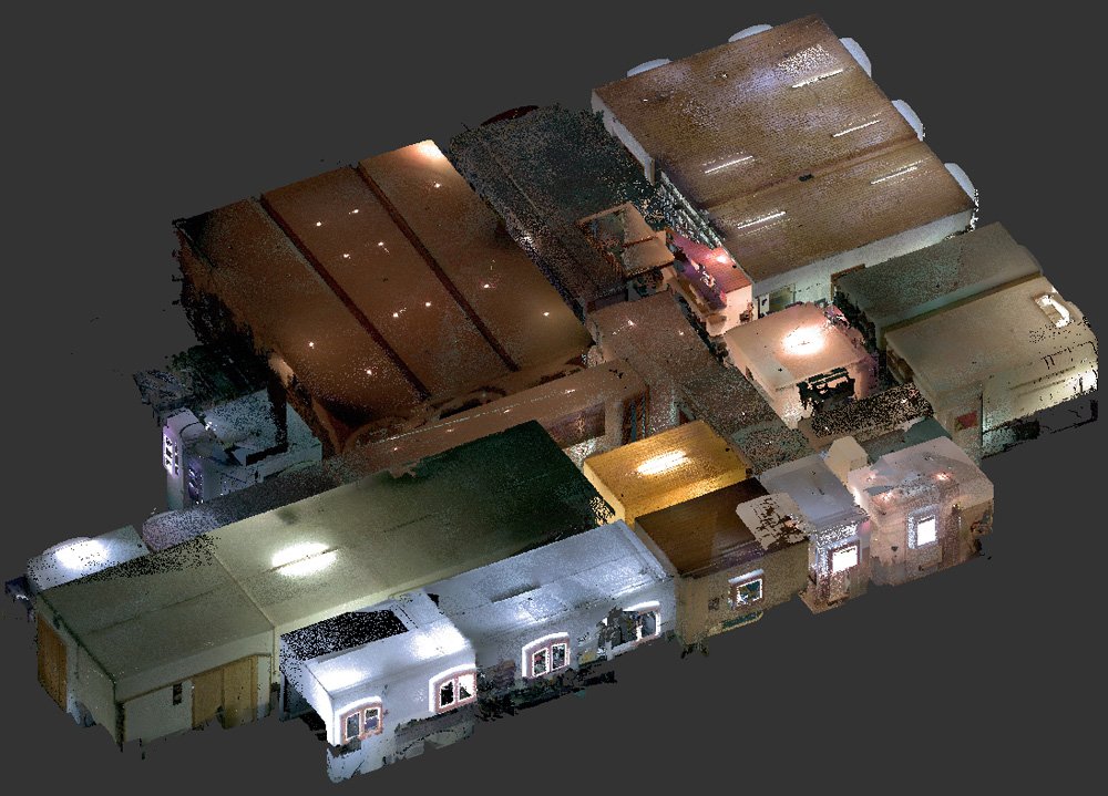
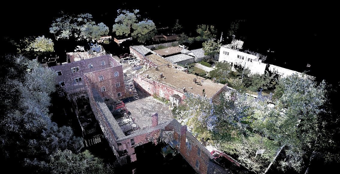
Point Cloud Processing
Already have raw reality capture or scan data but don't know what to do with it? We register, clean, and process your point clouds into polished, usable deliverables — saving you hours of post-processing and ensuring your data performs exactly as intended.
RegistrationNoise Filtering
RCP / E57 / LASCloud Viewer
Get a Quote →
05 / 09
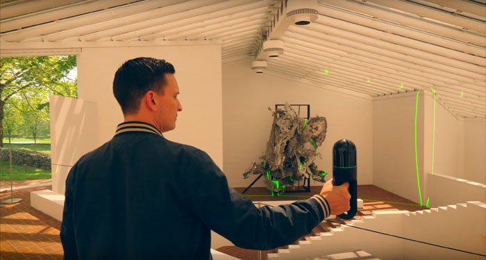
📸
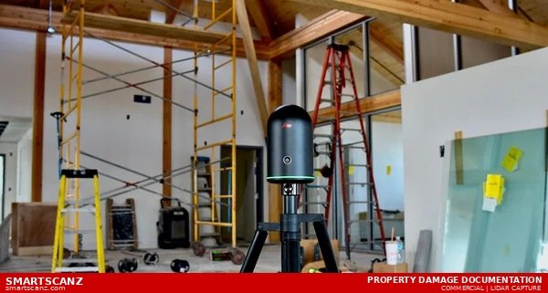
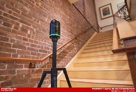
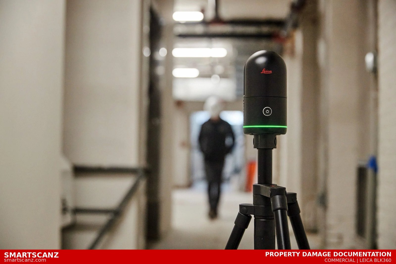
Property Damage Documentation
Fast, defensible, and highly accurate documentation of property damage for insurance claims, legal disputes, and restoration planning. Our LiDAR scans capture the full extent of damage in a single visit — providing an irrefutable digital record.
Insurance ClaimsLegal Documentation
Restoration PlanningRapid Deployment
Get a Quote →
06 / 09
🏗️
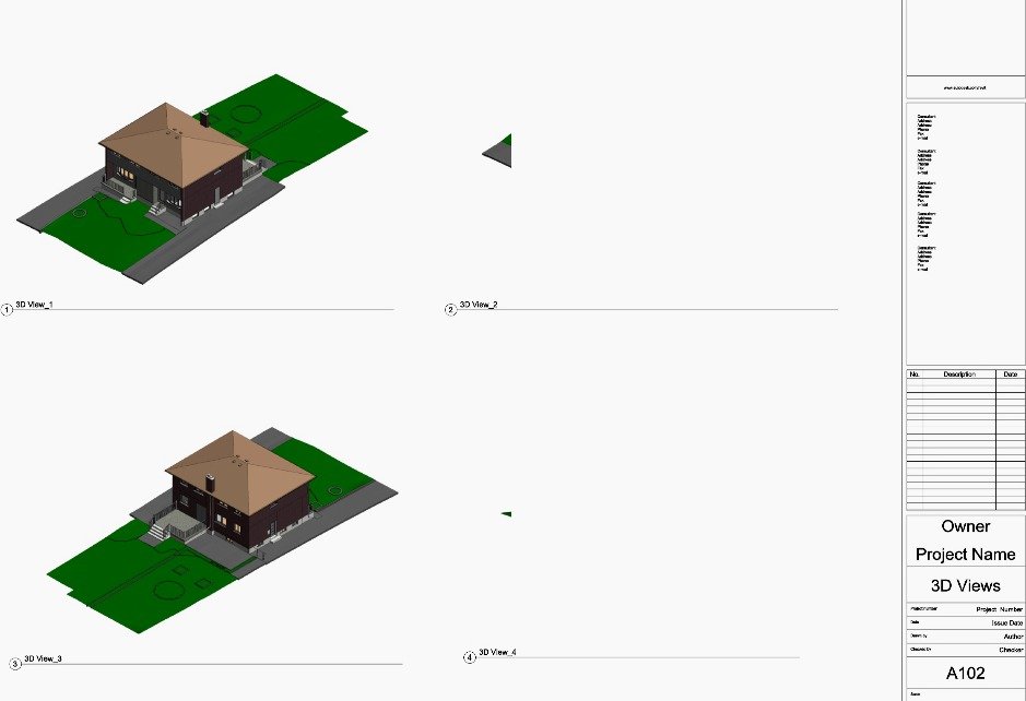
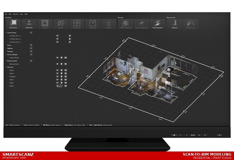
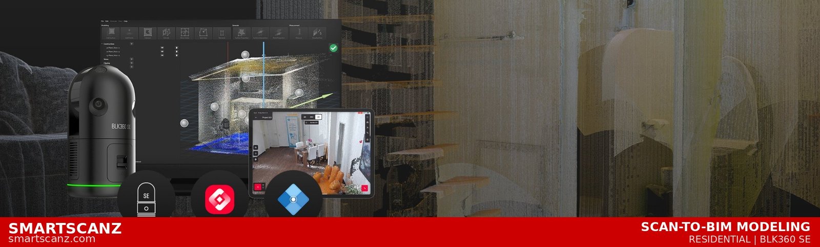
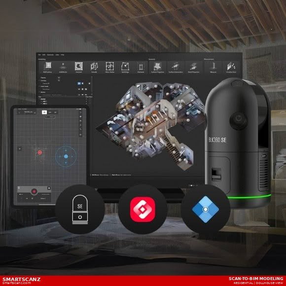
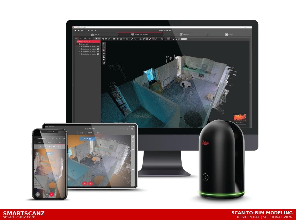
Scan-to-BIM Modeling
Transform your LiDAR point cloud into a fully coordinated Building Information Model or digital twin. We build Revit models at your required LOD, giving architects, engineers, and contractors an intelligent 3D model that matches the real-world building exactly.
Revit ModelingLOD 200–400
MEP / StructuralIFC / RVT
Get a Quote →
07 / 09
🏛️
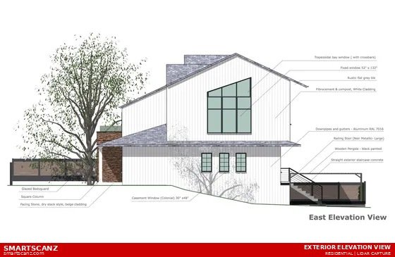
Exterior Detailed Elevations
Precise exterior elevation drawings and measured surveys capturing every facade detail — windows, doors, cladding, grades, and architectural features. Delivered as fully dimensioned DWG or PDF drawings ready for permits, renovations, and heritage documentation.
North/South/East/WestDWG / PDF
Heritage BuildingsPermit Ready
Get a Quote →
08 / 09
🔄
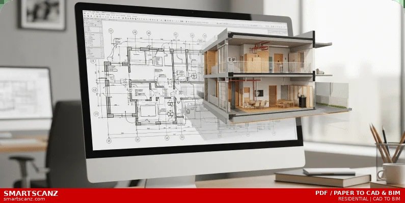
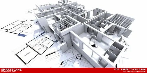
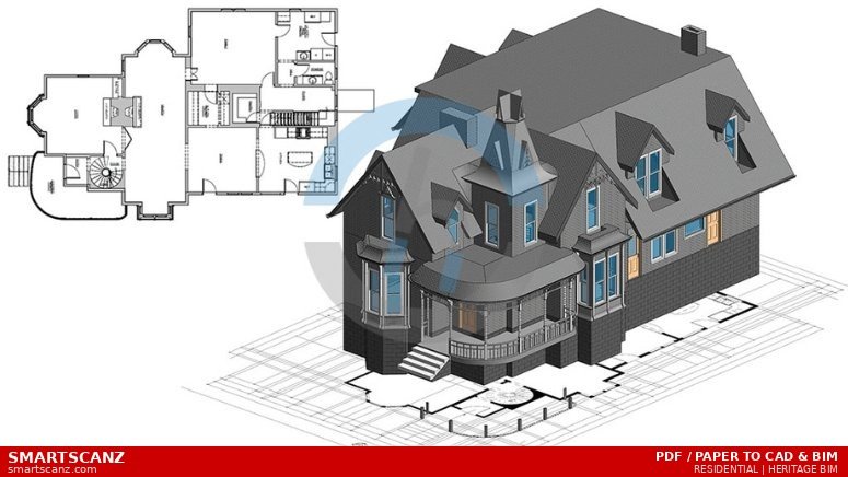
PDF/Paper to CAD & BIM
Have old paper drawings or scanned PDFs that need to live in CAD or BIM? Our CAD drafting and construction documentation service converts legacy documents into clean, accurate, fully editable DWG or Revit files — saving you the cost of a full re-survey when the originals are close enough to trust.
PDF → DWGPaper → Revit
Legacy DrawingsAs-Built Verification
Get a Quote →
09 / 09
⚡
Electrical & HVAC Plans
As-built electrical and HVAC documentation captured from LiDAR and site verification. We produce accurate reflected ceiling plans, electrical layouts, and mechanical system drawings that meet the demands of facility managers, engineers, and contractors.
Electrical LayoutsHVAC / Mechanical
Reflected CeilingFacility Management
Get a Quote →