
Property damage documentation
Document the damage before anything is removed
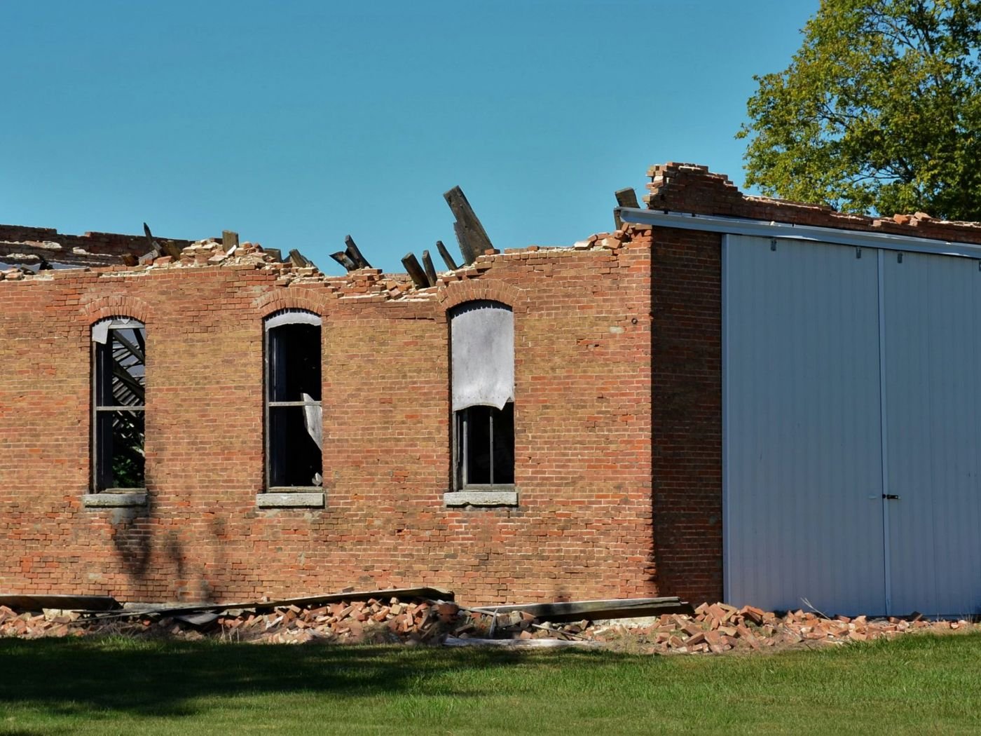
LiDAR scans of water, fire and impact damage for restoration companies, adjusters and property owners. One visit captures every room in measurable 3D, so the record stays accurate after mitigation and tear-out begin.
| Within 24 hours | On site for emergency calls, across Kitchener-Waterloo, the GTA and Southwestern Ontario. |
| 7–10 business days | Standard turnaround for the point cloud, walkthrough and plans. Faster turnaround is available at an additional cost. |
| One visit | Every room captured in measurable 3D, so nobody has to return to re-measure after demolition. |
From one visit to measured plans
The scan is turned into plans with the affected areas marked and measured, so the estimate starts from real quantities.
Who we work with
A scan gives everyone involved in a claim the same measured record of the property, whether or not they visited it.
Restoration contractors
Capture the loss before mitigation and tear-out, then build your estimate from measured floor areas, wall lengths and ceiling heights instead of a tape measure in a wet or smoke-damaged space.
Output: measured quantities, plans with affected areas, 360° walkthrough
Independent and public adjusters
Review the full extent of the damage remotely and return to the record at any point in the claim. Measurements can be checked directly in the point cloud.
Output: dated point cloud, 360° walkthrough, annotated plans
Property owners and managers
Keep a complete, dated record of the condition of the property for your claim, your insurer and your contractors, and document the completed repairs at the end.
Output: before-and-after scans, plans, walkthrough
Lawyers and experts
Where a loss is disputed, a scan preserves the conditions as they were found, with measurements that can be taken again later from the same data.
Output: registered point cloud, measured drawings, scan report
When to call
The most useful scan is the one taken before anything is removed. Once drywall, flooring and contents are gone, the original condition can only be reconstructed from photos.
- After a flood, burst pipe or sewer backup, as soon as the site is safe to enter
- After a fire, to record structure and finishes before demolition
- After vehicle impact, falling trees or structural movement
- Before mitigation or tear-out starts, and again once it is finished
- Before and after repairs, to document the completed work
We scan only areas that are safe to enter and follow the site's safety requirements.
How it works
Call
Tell us the address, the type of loss and who needs the record. Emergency calls are answered the same day.
On site
Within 24 hours for emergencies, or at a time that suits the mitigation schedule.
Scan
Every accessible room is captured with Leica LiDAR scanners, inside and out as needed.
Process
Scans are registered into one dated point cloud and checked for coverage.
Deliver
Point cloud, walkthrough and plans in 7–10 business days, or sooner when a faster turnaround is requested.
What you receive
Deliverables are matched to the claim. Most files use a combination of the following.
| Deliverable | Use | Format |
|---|---|---|
| Registered point cloud | The dated, measurable 3D record of the property as found. | E57, RCP/RCS |
| 360° walkthrough | A navigable view of every scanned room for people who were not on site. | Web link |
| Plans with affected areas | Floor plans with damaged areas marked and dimensioned. | PDF, DWG |
| Measured quantities | Floor areas, wall lengths, wall areas and ceiling heights for the estimate. | PDF, XLSX |
| Before-and-after comparison | When scanned at both stages, a record of the conditions before and after mitigation or repair. | PDF, web link |
Common questions
How quickly can you be on site?
Within 24 hours for emergencies. Non-urgent scans are scheduled around the mitigation or repair work.
Can you scan while mitigation is under way?
Yes, as long as the areas are safe to enter. We coordinate with the crew so equipment and people are moved out of each room while it is scanned.
Do you estimate the cost of repairs?
No. We provide the measurements and drawings; the estimate is prepared by your restoration contractor, estimator or adjuster.
Will an insurer accept the scan?
The scan is a measured, dated record that anyone on the file can review and check. How it is used in a claim is up to the insurer and adjuster.
How is the work priced?
Each property is quoted on its size, access and the deliverables needed. Faster turnaround is available at an additional cost.